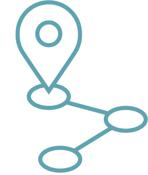
Our solutions
We build or provide solutions to harness the power of location by:
- sharing information about a location
- have your team work together around a location
- make decisions about a location
Our solutions seamlessly integrate IT and GIS technologies and are always tailored to the user’s needs.
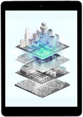
Digital Twin
Maps have always been a mirror of reality. With the concept of digital twins, we are now going one step further. We analyze the world in detail and continuous streams of information are now becoming a regular part of our location intelligence systems.
A digital copy of reality during all phases of the process: from design, through preparation and execution to operational and maintenance information. In our Digital Twins, we provide connections of data and information so that the virtual and physical worlds become connected.
It is our expertise how to integrate all those types of data, visualize them, make them work together in real time for different stakeholders and to gain even better insights from that location data. This will allow more focused and better policy decisions to be made that will improve ROI for you.
Geoportals and dashboards
Find information quickly and intuitively? It can be done through our portals that are tail or-made to your needs. Proposed different types of data mapping provides a daily solution to numerous clients to share information within a team, between teams, as well as with their external stakeholders. That way everyone is always working with the same information!

Custom geo applications
Need help with your digitization process? Get rid of your paper plans and no more doubt about the latest versions? Geo solutions advises, builds and supports your customized application. Thanks to our broad expertise of technology, the knowledge of our sectors, the knowledge of (open) data and the wide range of experience of our employees, we guarantee a solution for your situation every time.
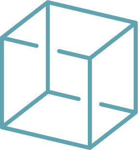
3D/BIM
GEO Solutions has expertise in the different types of 3D data: Remote Sensing, aerial LIDAR data, statically acquired point clouds, etc, …
What do you want to get out of this 3D data? 3D data visualization, modeling, comparison, integration, implementation, … and thus collaborate more efficiently.
A real-time Cloud platform where collaboration is possible with the right data at the right time by the right people is what we believe in. In this way, your internal work processes can be optimized.
In addition, BIM is increasingly becoming the norm. Building Information Modeling / Management has become indispensable in the digitization of the construction world. Driven by the government, the importance of standards in data exchange is becoming more important, including in the Civil Engineering sector. GEO Solutions provides support for the imposed BIM OTL (Object Type Library) standards for your infrastructure works.

GIS integration ERP/DMS
Our customers’ operations are often supported from a variety of IT solutions. All of these solutions impact and leverage customers’ assets. In order to also visualize or analyze this information in a geographic context, a link to the geo system is necessary. We help you implement the full flow and work with the client team to ensure seamless integrations between GIS and other solutions.
Strategic advice
Need strategic advice on how to connect, integrate, visualize and interpret all your or others’ data? How to build the bridge between those different geodata islands?
We integrate your GIS and geo-data into your business processes. To your colleagues and customers, then, GIS is not “technology. It is a solution. We give you the roadmap for that. All the way. Or just the bit of road you want our help with.
The analysis of our experts is broadening. Through targeted interviews and monitoring, we evaluate software, processes, users and the degree of integration.
Discuss your project together?
Wondering what the power of location data can do for your business? Feel free to schedule a no-obligation consultation, we’d be happy to help.


